 CALENDAR
 BOOK A TABLE
 CLUB NEWS
 Regattas
 WEATHER STATION
 FUEL PRICES
 CONTACT US
 RQTV
RQTV
Related Articles
A Message from the Canaipa Caretakers Erica and Peter
A message from Canaipa… As your new caretakers at Canaipa, we want to express our sincere gratitude for the incredible warmth you have all shown us since our arrival. It […]
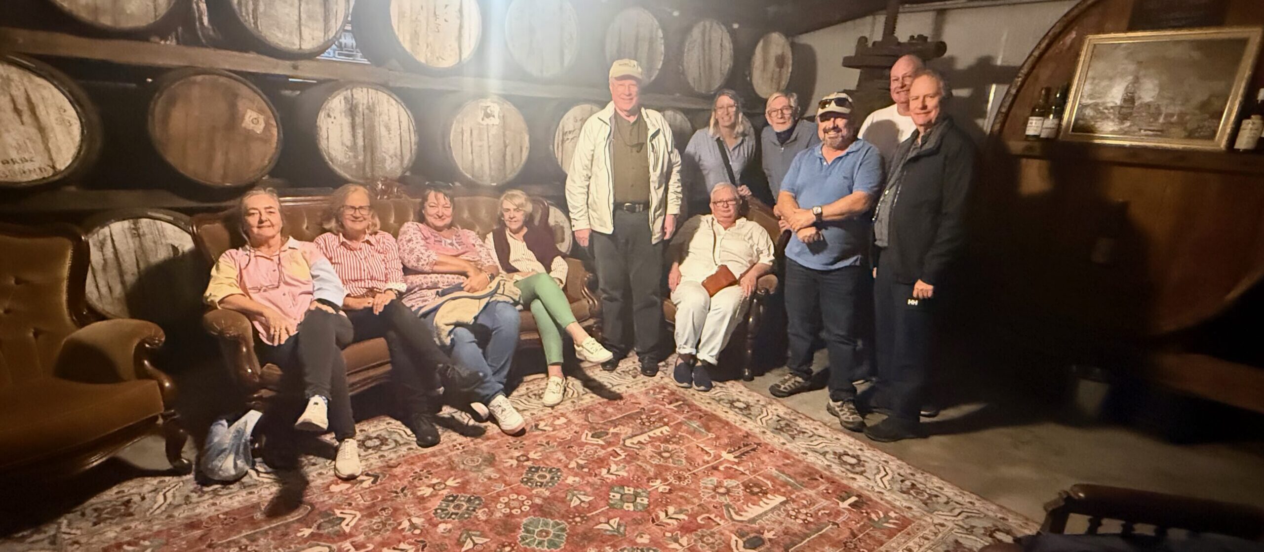
RQYS Sail Cruising Group Land Cruise – May 2026 Report
May 26 saw a cruise of different kind heading to the Southern Latitudes of Australia. The first participants depart one week before the cruise weekend and slowly made their way […]
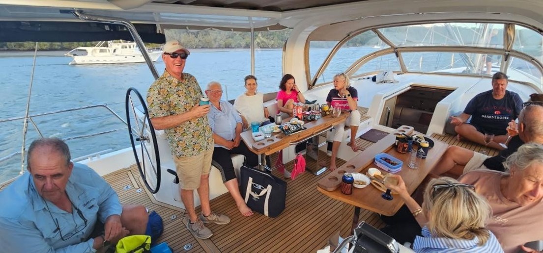
Sail Cruising Group enjoy Easter at Canaipa
3rd – 6th April 2026 Cruise Captains: Rose & Steve Weather: Rainy/Windy — S 18–25 kts, gusting to 30 Yachts Registered Seven yachts made the passage to Canaipa for the […]